 |
||||||||||||||||||
|
 |
|||||||||||||||||











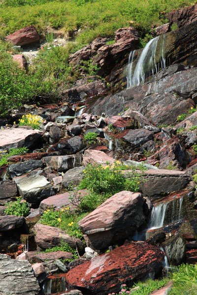
Along Grinnell Glacier Trail - 2011
Location: Glacier National Park in Montana. If you enter from the Kalispell area, this area is in the northeastern part of the park. You traverse the park via Going-to-the-Sun Road then turn north. You then head back west on Many Glacier Road. They'll give you a map at the gate. Its cross-the border counterpart is Waterton National Park.
Find the location: Copy the coordinates below. Open Google Earth, paste the coordinates into "Fly To" and click on the magnifying glass.
48° 46' 27.53" N
113° 42' 38.36" W
Equipment: Canon EOS 5D Mark II with 24-105 mm (set at 105 mm), f/22 0.3 sec with polarizer, ISO 50.
Digital imaging/manipulation: Slight sharpening.
Notes: Grinnell glacier is in the Many Glacier Area. You can walk from Many Glacier Hotel or shorten the trip by about 2 miles by taking the boat on Swiftcurrent, then Josephine Lakes. This picture was taken in the afternoon about 2.5 miles from the boat landing on Josephine Lake. From the dock to Grinnell Glacier is 3.8 miles with an elevation gain of 1600 ft.
See "Glacier Cascades and Beargrass" photo. It was the same place but from a different angle taken in 1989.
If you experience any problems on this website, please contact the webmaster. Website designed by Dru Furbee.