 |
||||||||||||||||||
|
 |
|||||||||||||||||











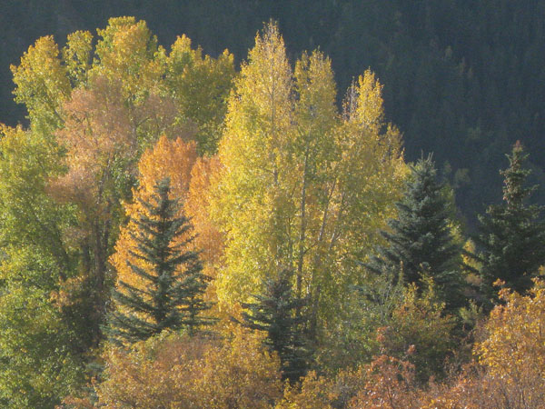
Lower Castle Creek Road
Location: From Denver International Airport, Aspen is about 4 hours west. Take I-70 west about 170 miles to CO 82 at Glenwood. Head south to Aspen. This route should usually be open in winter during the ski season. An alternate route in warmer weather leaves I-70 and heads south through Leadville, CO. About 1/2 mile west of Aspen is a turnabout. There is a roundabout on CO 82 just west of Aspen. Castle Creek Road is the second right turn after you enter the roundabout. Check coordinates of the roundabout below.
Find the location: Copy the coordinates below. Open Google Earth, paste the coordinates into "Fly To" and click on the magnifying glass.
39° 11' 32.96" N
106° 50' 19.96" W
Roundabout:
39° 11' 43.52" N
106° 50' 24.38" W
Equipment: Canon Powershot SD950 shot at 1/800 second at f 5.8. ISO 400.
Digital imaging/manipulation: Removed a block of something from the lower left corner. Of course, I had to plant another tree there and it took some time to grow up.
Notes: This was shot in early November around 10:30 AM just south of the turnabout.
If you experience any problems on this website, please contact the webmaster. Website designed by Dru Furbee.