 |
||||||||||||||||||
|
 |
|||||||||||||||||











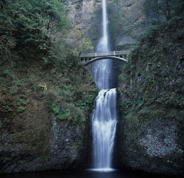
Multnomah Falls - Oregon
Location: Just off Highway 30 between Portland and Hood River, Oregon.
Find the location: Copy the coordinates below. Open Google Earth, paste the coordinates into "Fly To" and click on the magnifying glass.
45° 34' 35.10" N
122° 07' 06.54" W
Equipment: Hasselblad C501 with 50 mm lens and polarizing filter. Velvia transparency film, ISO 20.
Digital imaging/manipulation: Image scanned with Minolta Dimage San Multi PRO at 4800 dpi. Emulsion artifact removed.
Notes: This drive is a must do. You can make a loop around Mount Hood. The Highway 30 portion takes you along several falls including this one. The loop then turns south at Hood River along Highway 35, passes Mount Hood on the east side, and returns to Portland via Highway 26. If you have time, check out Timberline Lodge on the south face of Mt. Hood.
If you experience any problems on this website, please contact the webmaster. Website designed by Dru Furbee.